_edited.png)
Great Falls of Tinkers Creek: A Short Walk with Big History

The Great Falls of Tinkers Creek is not only one of the largest waterfalls in Northeast Ohio, but also one of the region's most historically significant natural landmarks. Located in what is now Viaduct Park within Cleveland Metroparks' Bedford Reservation, the falls have shaped both the landscape and the development of Bedford for thousands of years. Best of all, the falls are just a short walk from the parking area, making them an easy destination for visitors of all ages and ability levels.

Trail Info
Length 0.7 miles
Elevation gain 85 feet
Route Out & Back
Permit required No
Dogs allowed On leash
Trailhead elevation 935'
Water None filterable
Don't miss the view of The Arch along Tinkers Creek
Hiking to Great Falls of Tinker's Creek
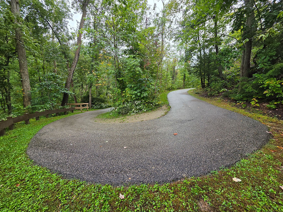
Upon reaching Viaduct Park, visitors will find a large parking area, several informational placards, and a paved walkway that descends toward Great Falls of Tinkers Creek.

The path is generally suitable for most visitors, although snow and ice can make portions of the route more challenging for those with mobility issues during the winter months. Spring through early fall are typically the best times to visit, when the surrounding forest is green and wildflowers bloom alongside the trail.
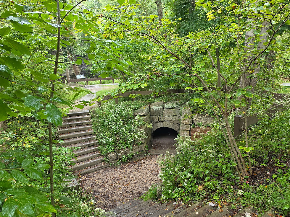
After a short walk, the path descends two staircases to an old millrace tunnel, one of the first reminders of the industry that once occupied the gorge. The tunnel was part of the water-control system used to power Bedford's early mills. A dam upstream diverted a portion of Tinkers Creek into a millrace, carrying water through the tunnel toward the mills, where its energy could be harnessed to turn machinery.

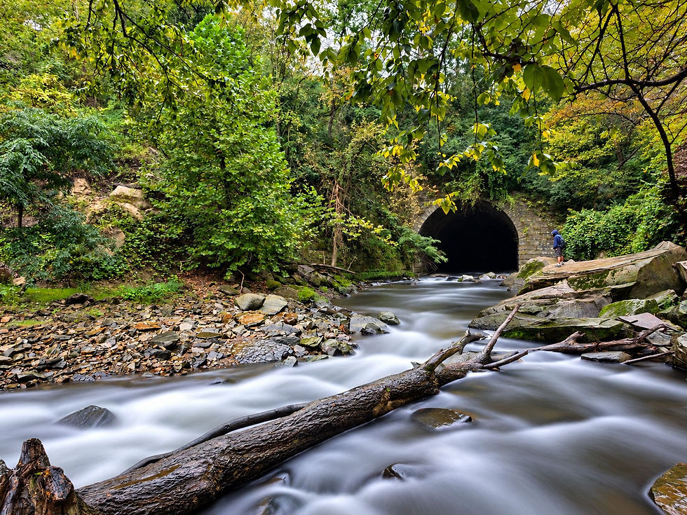
A short distance beyond the millrace, stone steps descend toward Tinkers Creek and a view of one of the park's most impressive engineering features: The Arch. Around 1901, the railroad replaced its earlier crossing of the gorge with tracks supported by an enormous earth-and-rock embankment. Because Tinkers Creek still needed a way to pass through the newly filled gorge, engineers constructed a massive sandstone conduit beneath the railroad and routed the creek directly through it.
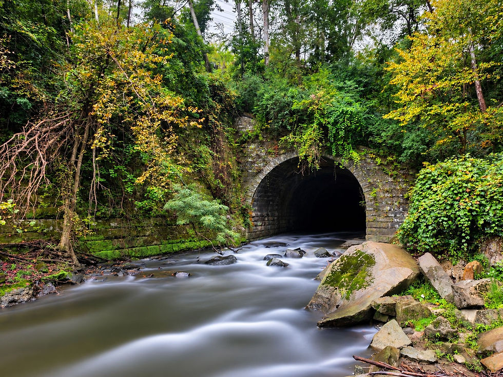
The scale of The Arch is impressive. The structure extends roughly 512 feet through the embankment, makes an approximately 20-degree turn, and features openings measuring about 40 feet wide and 32 feet high. Even more remarkably, much of the sandstone used to construct it was quarried from the cliffs surrounding Tinkers Creek. Together with the nearby millrace tunnel, The Arch represents two very different generations of engineering that reshaped the gorge for industry and transportation.
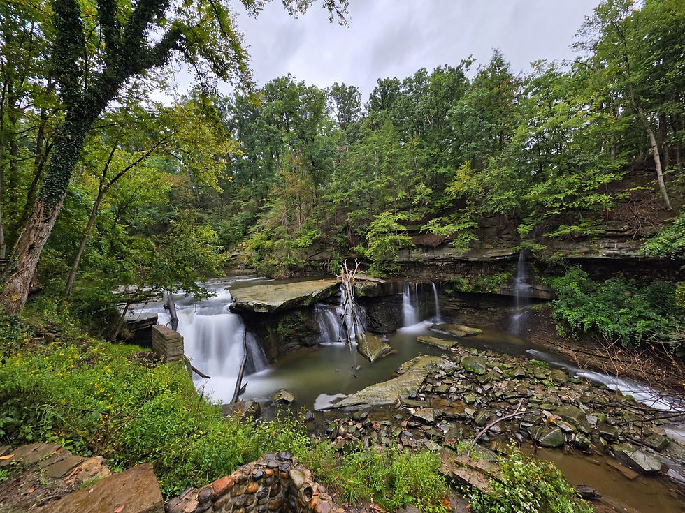
Just upstream stands the natural centerpiece of Viaduct Park: Great Falls of Tinkers Creek. At approximately 15 feet tall and 80 feet wide, Great Falls is one of Northeast Ohio's largest waterfalls by width and volume. While it lacks the towering height of Brandywine Falls and Twin Sister Falls in nearby Cuyahoga Valley National Park, its broad curtain of water and powerful flow—especially following periods of heavy rain—make it one of the region's most impressive and photogenic waterfalls.
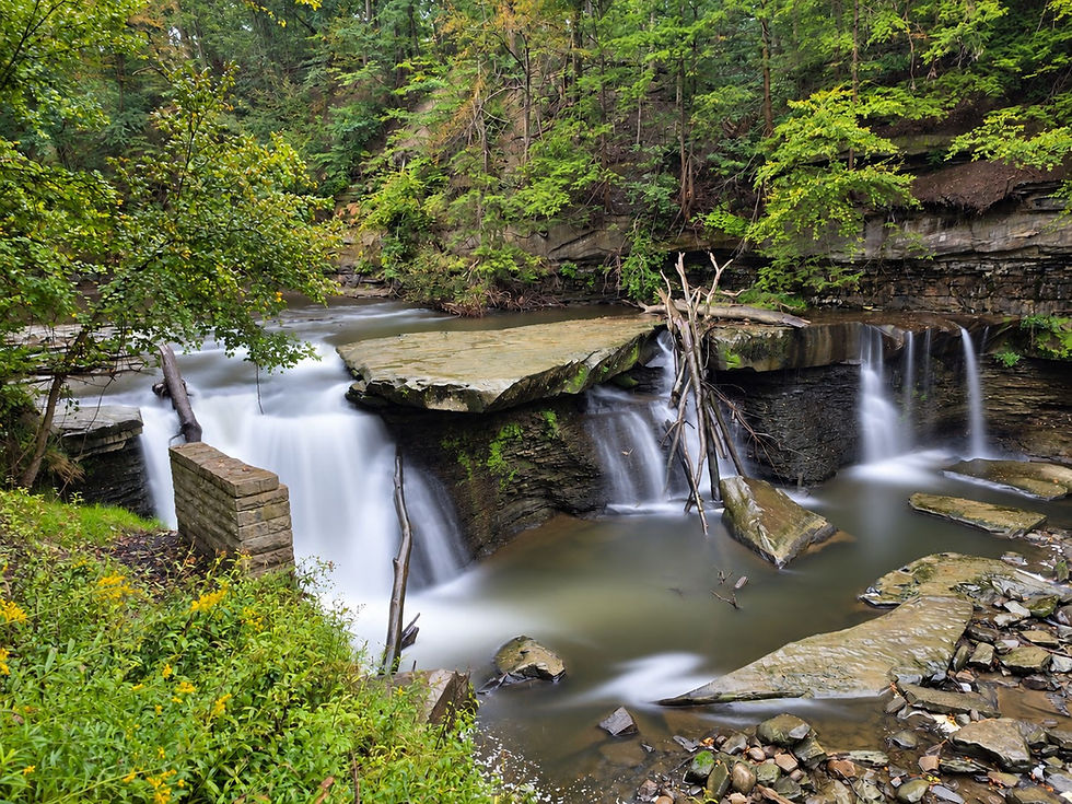
The falls themselves are the product of erosion that began following the last Ice Age. As glaciers retreated roughly 12,000 years ago, meltwater helped carve the deep Tinkers Creek Gorge through layers of resistant Berea Sandstone resting above softer Bedford Shale. Because the shale erodes more quickly than the sandstone above it, the rock beneath the falls is gradually undercut until unsupported slabs of sandstone eventually collapse into the gorge.
As a result, Great Falls is a landscape that remains very much in motion. Over thousands of years, this process has caused the waterfall to slowly retreat upstream, carving and reshaping the gorge as it goes. In geological terms, Great Falls is essentially "walking" backward through the landscape—a process so gradual that it is invisible during a single visit but relentless over thousands of years.
Long before European settlement, Native American peoples traveled through and hunted within the Tinkers Creek Valley. The creek and surrounding forests provided abundant fish, game, and fresh water. Although there is no evidence that Great Falls itself supported a major village, the gorge would have been a familiar feature of the landscape to Indigenous peoples living throughout the greater Cuyahoga Valley region.
Tinkers Creek takes its present name from Joseph Tinker, the chief boatman for Moses Cleaveland's 1796 surveying expedition into Connecticut's Western Reserve. Interestingly, Tinker apparently never explored the creek that would eventually bear his name. He drowned in Lake Erie after his boat capsized during the expedition, and surveyors later honored him by giving his name to the largest tributary of the Cuyahoga River.
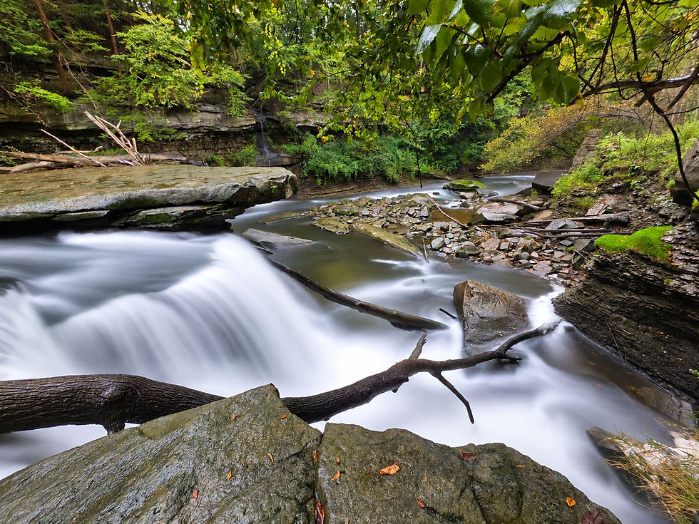
By the early 1800s, settlers recognized that the tremendous flow and sudden drop of Tinkers Creek at Great Falls offered an ideal source of mechanical power. Beginning around 1821, dams and millraces diverted water from the creek to power a succession of industries, including sawmills and gristmills. Later in the century, the same waterpower was harnessed to generate electricity for Bedford. For nearly a century, Great Falls served not simply as a scenic landmark, but as an industrial engine that helped drive the development of the surrounding community.
Evidence of that era remains scattered throughout Viaduct Park today. Stone foundations, sections of the old millrace system, brick ruins associated with the former hydroelectric operation, and other remnants tucked into the gorge provide glimpses of a time when this quiet stretch of Tinkers Creek was filled with mills, machinery, and industry.

The arrival of the Cleveland & Pittsburgh Railroad transformed the landscape even further. In 1864, an imposing railroad viaduct was constructed downstream from the falls, allowing trains to cross the steep Tinkers Creek Gorge. Around the turn of the 20th century, the railroad corridor was dramatically rebuilt, resulting in the enormous embankment and sandstone Arch that visitors can still see today. These remnants of Bedford's railroad era ultimately helped give Viaduct Park its present-day name.
As local industry declined during the early 20th century, the steep and rugged gorge largely escaped the development that transformed much of the surrounding region. The land eventually became part of Cleveland Metroparks' Bedford Reservation, while Tinkers Creek Gorge was designated a National Natural Landmark in 1967 in recognition of its exceptional geology and ecological importance.
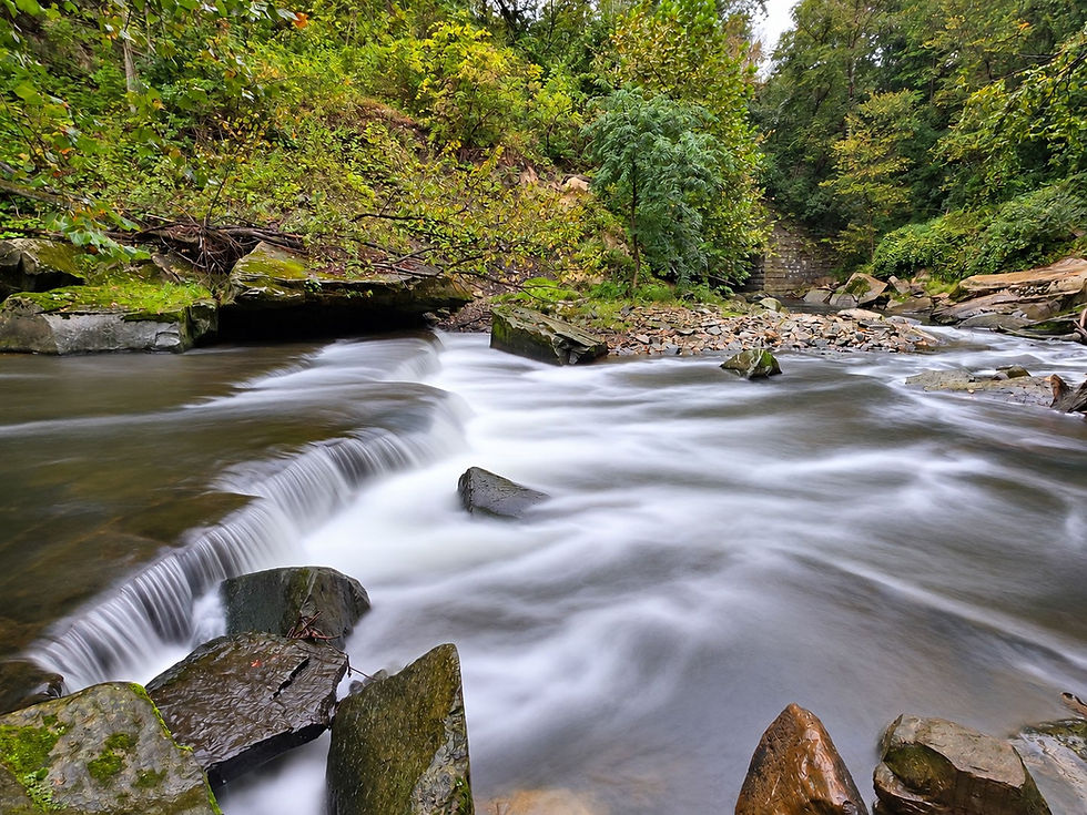
Today, a walk through Viaduct Park is much more than a trip to see one of Northeast Ohio's most impressive waterfalls. In the span of a short trail, visitors can see thousands of years of geological change alongside nearly two centuries of human engineering, from a creek that carved its own path through the bedrock to the mills, tunnels, railroads, and ruins built by those who learned to harness—and reshape—the landscape around it.


Comments